The Sierra Nevada Natural Park is the largest national park in Spain and the most southern in Europe. Due to its location it allows visitors to benefit from the sunny weather while skiing or enjoying the surroundings. Spain’s top ski resort and favorite outdoors destination.
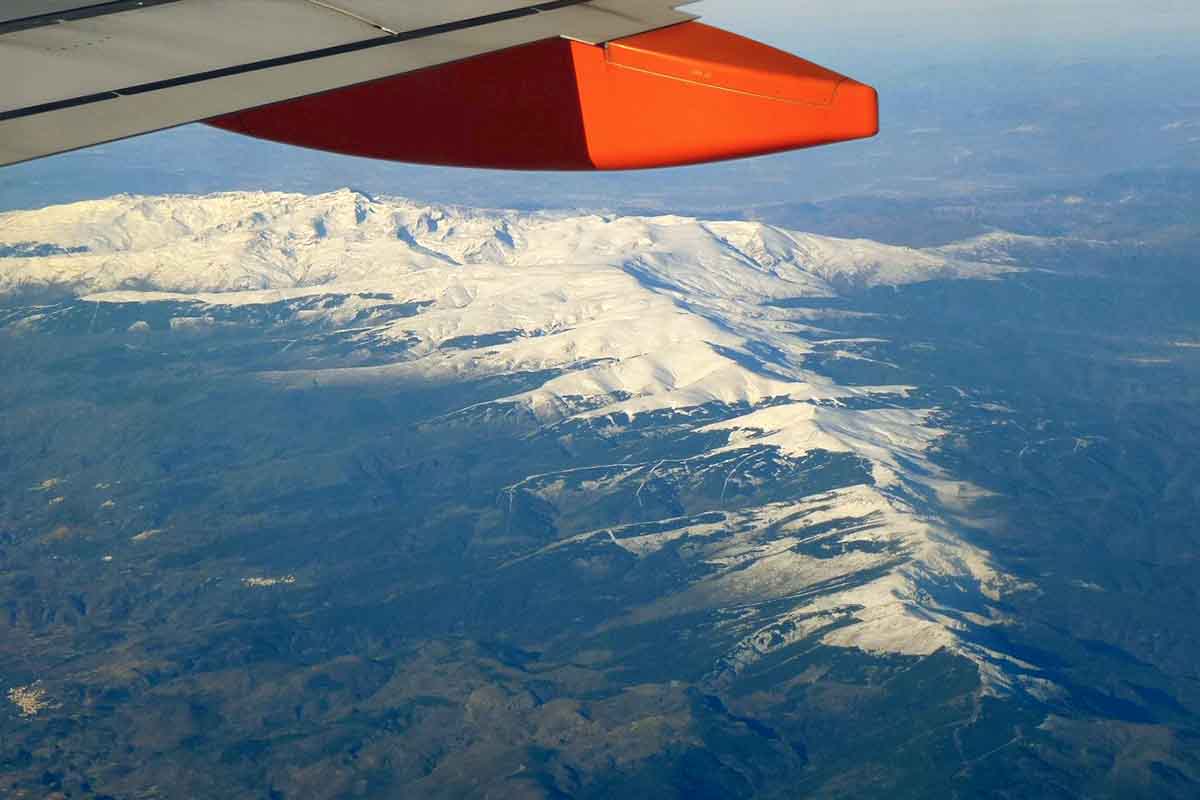
Sierra Nevada Spain is an extensive mountain range most of it located in the Granada Province. It is the highest in Europe after the Alps with peaks of more than 3.400 m (11.150 feet). The spectacular landscape and its rich and unique flora and fauna, make Sierra Nevada a natural and cultural heritage of scientific value. It is for that reason it was declared as a Biosphere Reserve, Natural Park and National Park.
Within the National Park is the ski resort of Sierra Nevada. It is the most southern European ski resort and the highest in Spain. The skiable altitude ranges from 3,300 to 2,100 meters, and offers skiers approximately 110 kms. among its 131 slopes. At only 27 km from the Alhambra of Granada, and 100 km from the Mediterranean coast, it enjoys a splendid climate, making it the best place for the practice of winter sports in Europe.
Outside the winter season, the Sierra Nevada mountains offer countless alternatives for all types of tourism. Above 2100 meters, between June and October (weather permitting) a series of minibuses from the Interpretation Service of the High Peaks, allow visitors to climb the Pico Veleta at high altitude touring through the Natural and National Parks.
Because of their height and latitude, these mountains are home to unique species of flora and fauna. There is also a wide range of trekking routes starting from the Pradollano, Sierra Nevada ski resort, adapted to all levels, both in terms of difficulty and length. Read on to find out about the best hiking tracks you can do in this incredible Natural Park.
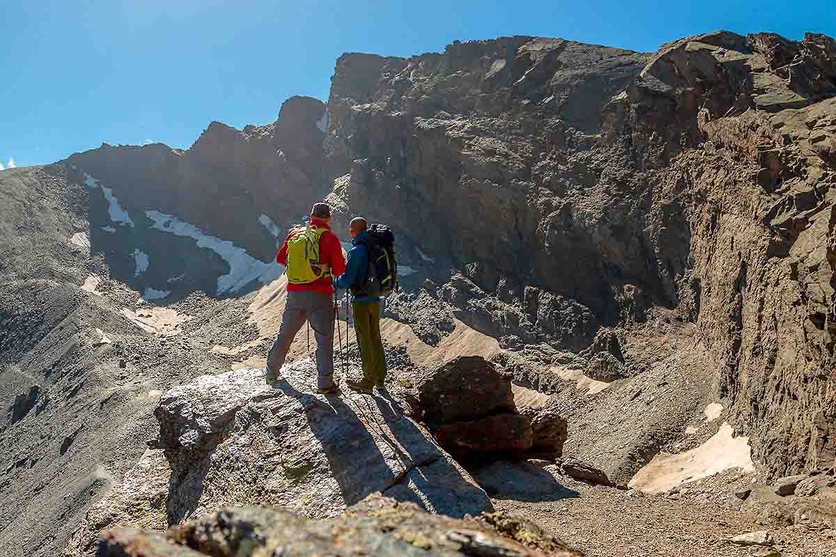
PICO VELETA TRAIL
The so-called Veleta Route is moderate in terms of difficulty. This trail is one of the most emblematic routes in Sierra Nevada Spain, known as the great ‘balcony’. It ends in one of the best natural observatories. From here you can see the most impressive 3.000s of the mountain range. As well as the Alpujarra of Granada, the Mediterranean Sea and the North Africa mountain range, the Atlas.
This ascent to the 3,396 m. summit, allows to find vestiges of the Spanish Civil War like the Posiciones del Veleta and exclusive volcanic residues. By the end of this route, the well-known Corral del Veleta arises, a vertiginous cut with more than 200 meters of fall. Additionally, a mass of fossil ice can be appreciated, like inheritance of the Ice Age. Average time to do it is between 4 and 5 hours.
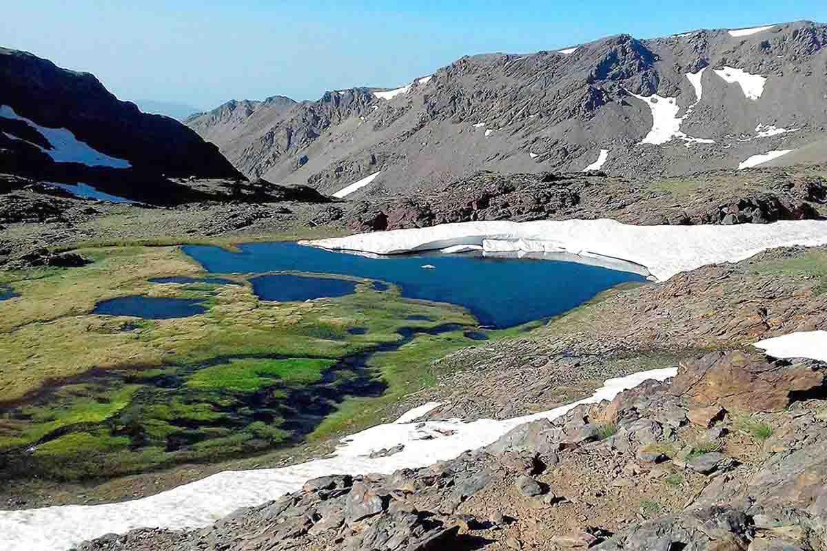
LAGUNA DE LAS YEGUAS TRAIL
This is another of the most interesting routes. It allows you to enjoy the small glacial lakes that are the origin of the Dílar River. This route, of moderate difficulty and extraordinary beauty can be done in about 30 or 45 minutes and is one of the easiest trails with approximately 13 km. and 1.000 m. of height difference.
The departure is from the upper station of Veleta chairlift. The panoramic view on the way back is not short either. As a result, you can contemplate several 3,000s, such as Collado de Capileira (3,200 m.), Tajos de la Virgen (3,242 m.) and Tozal del Cartujo (3,143 m.).
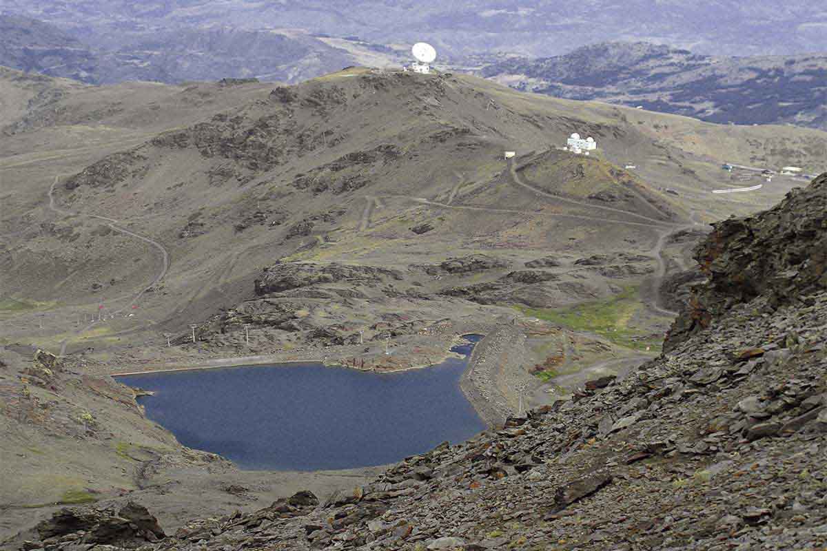
ASTRONOMICAL OBSERVATORY TRAIL
This track can be followed to the Observatory. In this case, starting from a path that leaves La Laguna de las Yeguas towards Borreguiles. During this walk you can observe a meadow, actually one of the largest wet grasslands in Granada, the Sierra Nevada Astronomical Observatory and the Sierra Nevada Radio Telescope.
Distance: approximately 11 km.; elevation difference: 450 m.
Difficulty: difficult, especially the last stretch from Borreguiles to the astronomical station.
Average time to do it: a little less than 8 hours.
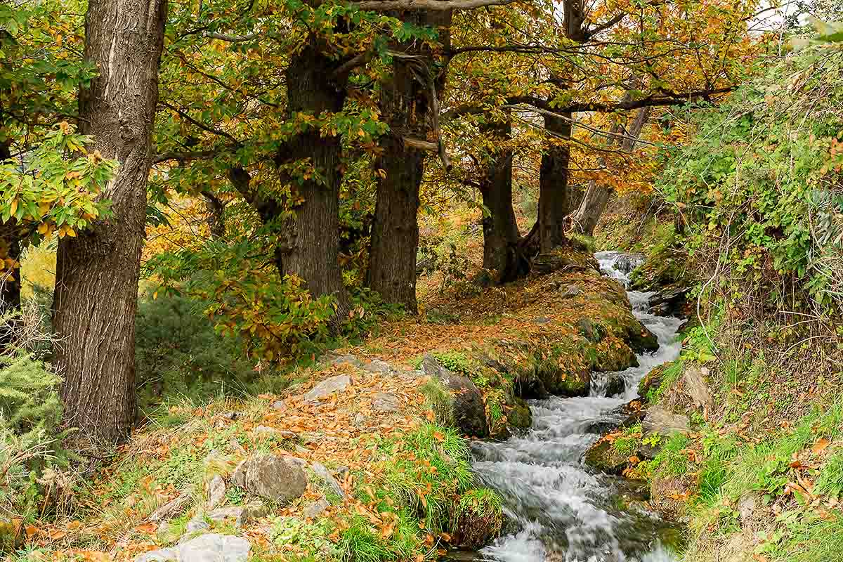
VEREDA DE LA ESTRELLA TRAIL
This track runs along the banks of the streams and springs where the Genil river is born. In spite of the difficulty and hardness of the route, it offers one of the most interesting views of the mountain range north face.
Distance: about 35 km
Elevation difference: approximately 1,150 meters
Difficulty: High, both because of the distance and the slopes. Average time to do it: about 10 hours.
DE LAS CHORRERAS TRAIL
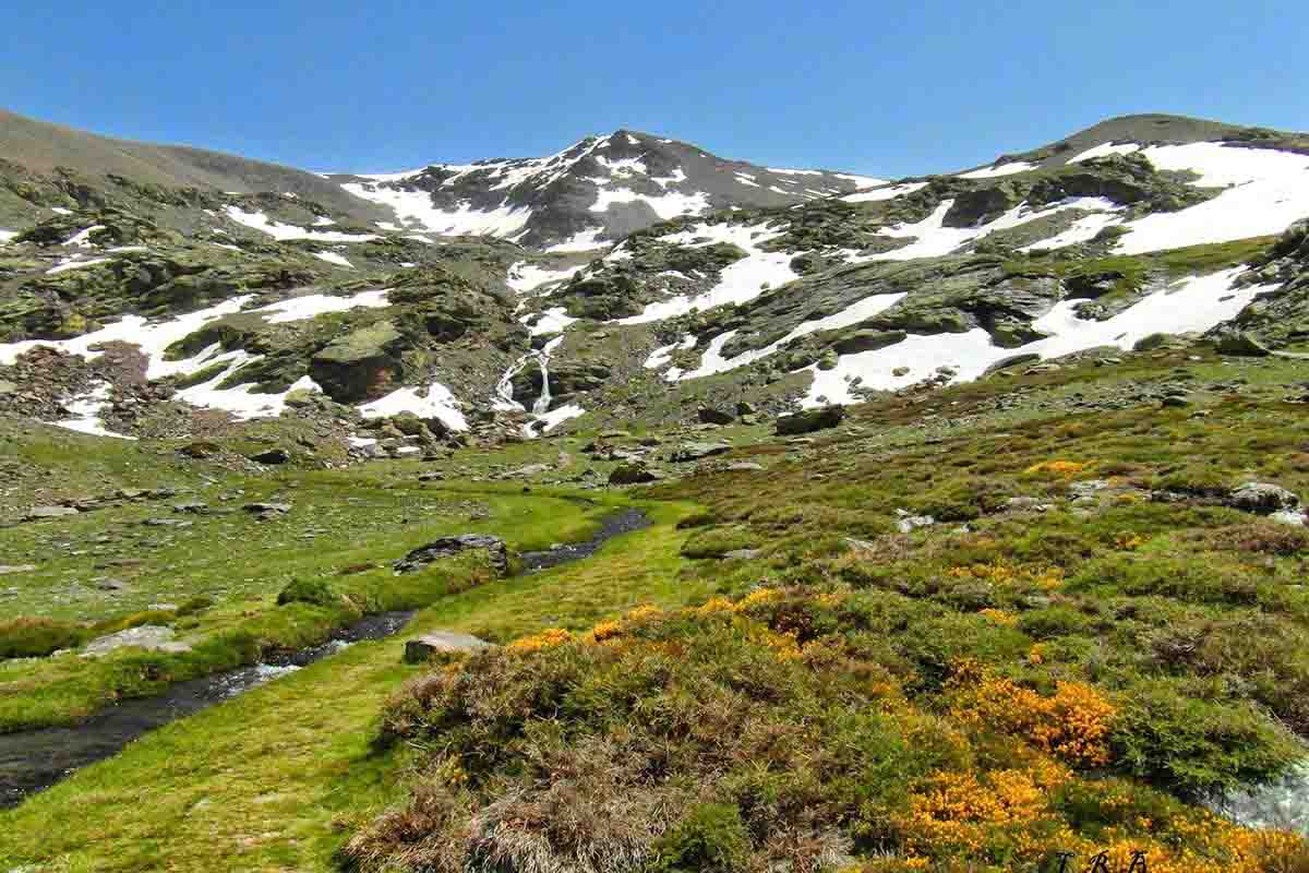
The Ruta de las Chorreras is an itinerary that you can start from Borreguiles. It is a path with some difficulty, but marked by streams and pastures home to a great diversity of plants. Some endemic species of Sierra Nevada, such as the Estrella de las Nieves flower, can be found there.
Distance: 12 km. from Borreguiles, almost 15 from Sierra Nevada.
Elevation difference: about 1,100 m. up and 300 m. down from Borreguiles.
Difficulty: moderate. Average time to do it: up to 9 hours.
LOS CAHORROS TRAIL
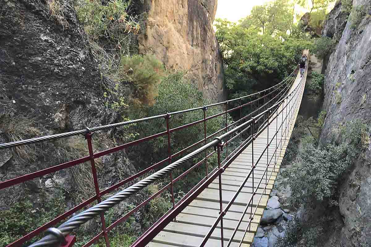
This route can be a great option for a long walk with the whole family. Located in the small village of Monachil, it is only 8 km. from Art Chapiz Apartment rentals, in Granada. Despite its proximity, it remains a relatively unknown place for many tourists.
These limestone gorges are a very appreciated place by climbing experts as they offer numerous possibilities. The more adventurous will have to crawl, climb and cross beautiful suspension bridges to discover what this special route hides. You will enjoy incredible views, waterfalls, natural pools made of rock, caves and narrow tunnels.
This path will take you through some of the most spectacular scenery in Andalusia. It can be done throughout the year, but the best time is undoubtedly during spring and autumn. The river Monachil originates in the Veleta summits. The water is clean and cold, very cold (the typical cold you can only endure in summer).
Distance: 9.5 kilometres.
Elevation difference: less than 400 m., up and down.
Difficulty: easy. Average time to do it is 4 hours.




Follow Us
OUR SOCIAL MEDIA CHANNELS
Follow us for the latest news and offers.